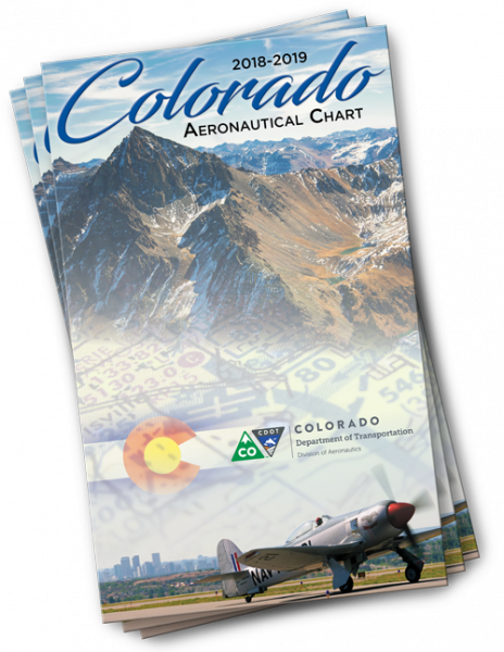
 Aeronautical charts are tools used by pilots and air traffic controllers to map a geographic area’s flying conditions. They include things like flight rules, airspace, routes, topography, altitude information, obstructions such as mountains or tall buildings, locations of airports, runways, and control towers, and much more. (See this article from National Geographic on how to read an aeronautical chart). The Colorado Department of Transportation’s Division of Aeronautics publishes a chart for Colorado, and beginning this year it is also available online. (These are large files so may take a few moments to load). Hardcopy charts — in the form of large, foldout maps — can also be checked out from our library or requested from CDOT. Our library has the current 2018-19 edition as well as older editions going back to 1996.
For additional information on Colorado airports and aviation, see the annual Colorado Airport Directory, also available online as well as for checkout in print.

- How to Spot the Differences Between Eagles and Hawks - August 16, 2021
- How Transportation Projects Help Tell the Story of Colorado’s Past - August 9, 2021
- Time Machine Tuesday: The Night the Castlewood Canyon Dam Gave Way - August 3, 2021